Major winter storm this week could bring ‘significant’ snowfall to southwest Illinois

READ MORE
More coverage on Winter Storm Landon
Read all of the BND’s articles about Winter Storm Landon in the metro-east
Expand All
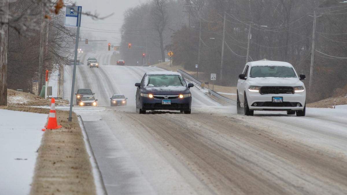
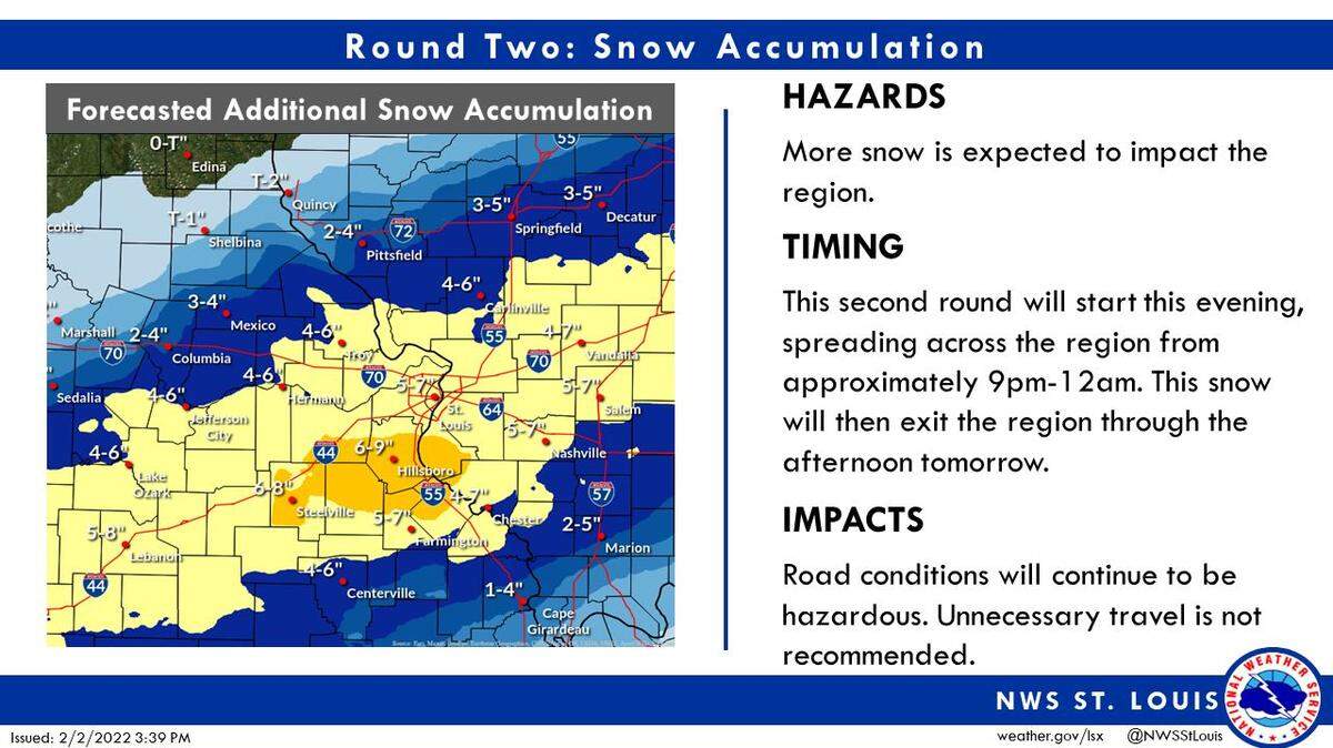
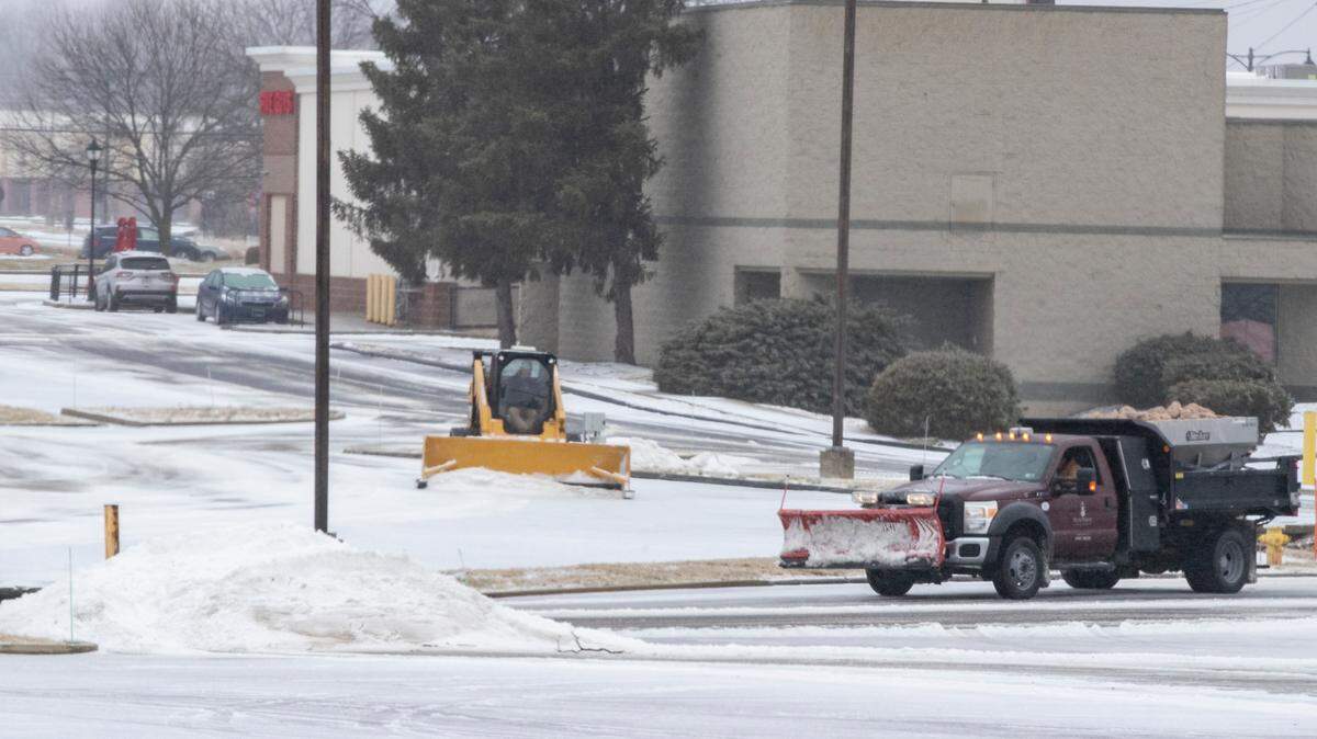
The National Weather Service in St. Louis said Sunday a major winter storm is expected to move through the region starting late Tuesday and continuing into Thursday, “ producing widespread snow accumulations and more limited accumulations of sleet and ice.”
The prediction was included in the weather agency’s “Area Forecast Discussion,” posted Sunday afternoon.
The discussion stated “the exact location of the highest amounts continues to shift, and is still uncertain. Breezy
conditions Thursday will make blowing and drifting snow a concern.”
The more detailed 7-day forecast for St. Clair County says that rain is expected to begin Tuesday, with a high in the upper 40s to mid 50s.
Temperatures are expected to turn colder Tuesday evening, with rain possibly turning to snow, freezing rain and sleet early Wednesday, with less than one inch accumulation. During the day Wednesday, the area could receive around 2 inches of snow, and on Wednesday night and after midnight, an accumulation of 4 to 5 inches. The snow is likely to continue Thursday.
This is a developing story that we will update when more details are available.
This story was originally published January 30, 2022 at 11:01 PM.