Updated forecast: Winter storm could bring 7-12 inches of snow to southwestern Illinois
READ MORE
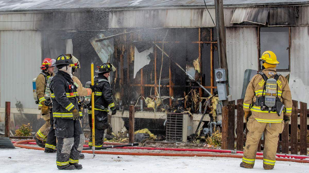
More coverage on Winter Storm Landon
Read all of the BND’s articles about Winter Storm Landon in the metro-east
Expand All
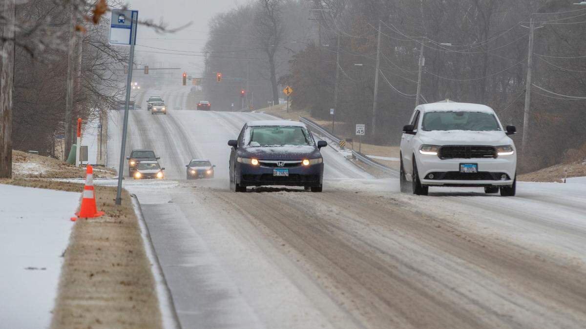
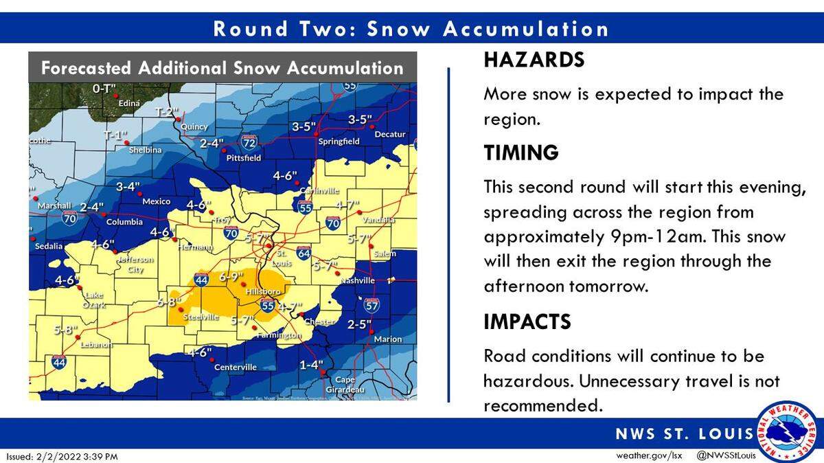
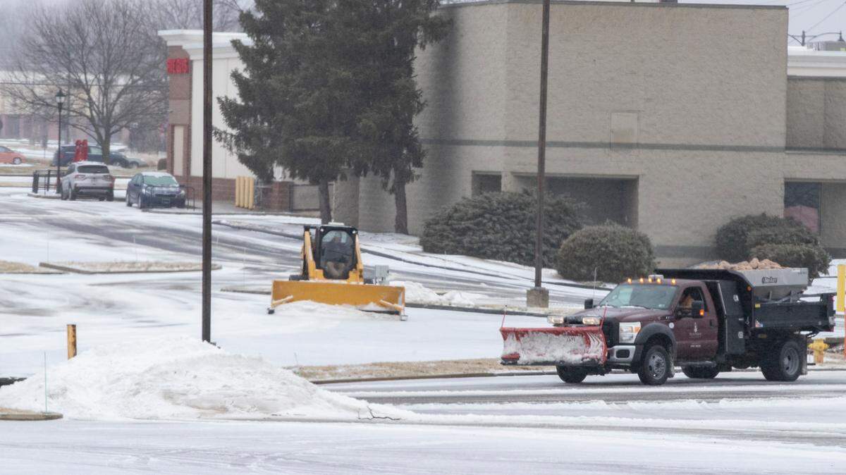
The National Weather Service of St. Louis is predicting 7-12 inches of snow for parts of the metro-east, starting Wednesday and continuing into Thursday.
Late Tuesday afternoon, Alex Elmore, a meteorologist with the National Weather Service in St. Louis, said the models are forecasting those amounts for St. Clair and Madison counties, with counties farther south like Randolph looking at 4-8 inches.
“Those are amounts that can be impactful,” Elmore said.
The entire region has been under a Winter Storm Warning since Tuesday morning. Elmore said the storm will begin with some freezing rain around 6 a.m. Wednesday before shifting to sleet and then possibly a sleet-snow combo before transitioning to all snow by Wednesday afternoon.
“It will predominantly be sleet throughout morning,” Elmore said. “Maybe a little freezing rain and snow until it changes over to all snow in the afternoon.”
Elmore said when exactly that transition from sleet to all snow will happen is still uncertain.
“The changeover could happen sooner than we have forecast,” he said. “It’s going to take just a single degree of the temperature to change in the lower portion of the atmosphere when we change over to snow. That could be mid-to-late morning or not until later in the afternoon.”
Additionally, Elmore explained how long the transition from sleet to snow takes will affect the snow total amounts.
“If that transition takes longer, if the predominant precipitation is sleet, we will see that cut into the snow accumulation. We will be in the lower range — closer to 7 inches. If it switches over to snow sooner, we likely will see those values of 12 inches.”
Once the storm transitions to all snow, Elmore expects snow for the remainder of the storm until it concludes Thursday morning or Thursday afternoon.
As far as ice, as of Tuesday afternoon, Elmore did not expect amounts in the metro-east — a couple hundredths of an inch — to cause any widespread power outages. He said counties farther south such as Randolph could see amounts of 0.10 of an inch to 0.20 of an inch of ice. Elmore said forecasters do not get concerned about widespread effects until ice totals hit 0.25-0.50 inches.
“You could see a glaze where surfaces have a shine,” Elmore said. “As as far power outages and downed trees, we are not expecting that in the metro-east. We don’t have anything like that forecast for this area.”
The National Weather Service recommends keeping up to date on the forecast by visiting www.weather.gov. Elmore said updates can take place at any time but that they primarily occur around 3 p.m. or 3 a.m.
“That’s when we do the larger updates for the entire area,” he said. “It’s at the discretion of the forecaster; if new information comes in and the forecaster sees that, they can update it at any time.”
This story was originally published February 1, 2022 at 6:45 PM with the headline "Updated forecast: Winter storm could bring 7-12 inches of snow to southwestern Illinois."