How much more will Round 2 of Winter Storm Landon deliver southwest Illinois?

READ MORE
More coverage on Winter Storm Landon
Read all of the BND’s articles about Winter Storm Landon in the metro-east
Expand All
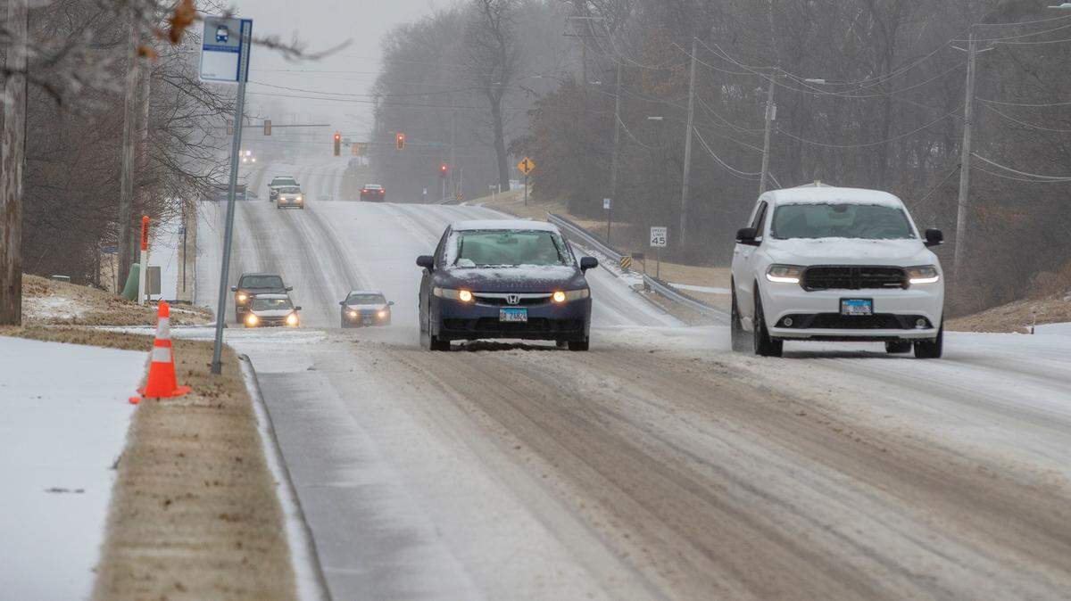
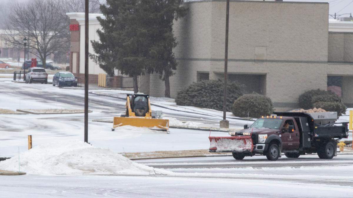
The National Weather Service predicted Round 2 of the winter storm will be the strongest from 3 a.m. to 9 a.m. Thursday in the metro-east when it could snow an inch per hour.
Mark Britt, a meteorologist with the National Weather Service in St. Louis, said the morning commute could be “very treacherous” on Thursday morning.
The snow is expected to taper off in the afternoon with a total of new snow ranging from 6 to 9 inches in Belleville.
If you have to drive in the morning, Britt recommends you give yourself plenty of time to make it to your destination.
“But wait, there’s more!” the agency posted on Facebook on Wednesday afternoon. The federal meteorologists reiterated their warning urging people to avoid travel if possible.
Here’s a look at the National Weather Service’s snow forecast for some metro-east towns:
East St. Louis: 5 to 9 inches
Godfrey: 4 to 8 inches
Red Bud: 5 to 11 inches
The National Weather Service doesn’t name winter storms but The Weather Channel has dubbed this storm as “Landon.”
This story was originally published February 2, 2022 at 5:29 PM.